3D simulation allows you to visit present and future forests from the comfort of your home
A 3D simulation modelling forests has been developed in the Joensuu Science Park. The state forest company Metsähallitus needed a forecast of how a particular forest area will develop that would also be understandable for laymen. Matching the need and know-how led to the simulation of the Syväjärvi forest.
The simulation was created by the co-operative Joensuu Games in the Science Park games incubator. The operational logic and basic programming are similar to those used in games.
The company has also produced other simulations. One of them consists of plans for commercial sites in the town of Joensuu which can be seen through 3D glasses as they would be when completed. “That was relatively easy to create, as is generally the case with all artefacts, whether buildings or cars. But when you start dealing with nature, everything changes. All those thickets and undergrowth, they are simply a simulator’s nightmare,” says Veikko Miettinen, Development Director of the Science Park.
Tools for reaching agreement about forests
The Syväjärvi forest is close to the centre of Suomussalmi municipality. When Metsähallitus was planning to harvest the forest, the locals rose up in arms. Among all of Suomussalmi’s forests, they felt that this forest was crucial for their recreation.
Metsähallitus considered that the harvesting operation would not decrease the recreational value of the forest. The locals thought differently. In the end, the harvesting operations were postponed in order to sort out the disagreement.
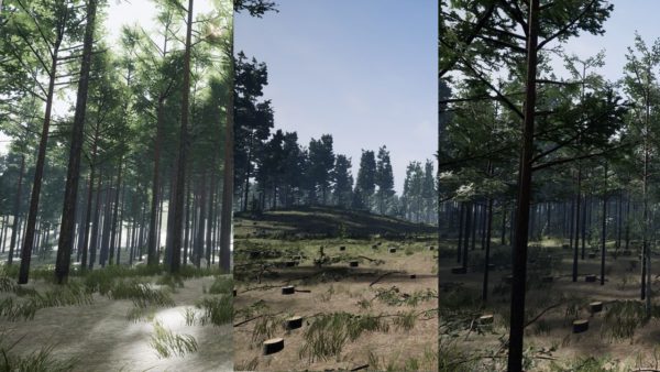
The Syväjärvi simulation was delivered to Metsähallitus by Joensuu Games last spring. The purpose of the simulation was to show how the harvesting would actually change the landscape. The simulation presents a three-dimensional view of the area with all its trees, buildings, terrain contours – everything.
The data used as the basis of the simulation included electronic mapping data of the area, the average diameter and height of the trees as well as minimum and maximum heights. In addition to this, some one hundred photographs were taken of the area.
Of the tree species, only pine and birch were modelled, because few other tree species are found in the area. As regards pine, for example, about 20 different specimen trees were stored in the data, including standing deadwood.
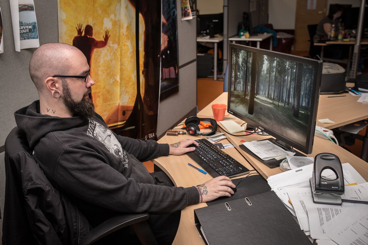
The modelling covered a fairly large area, because it was observed, among other things, that nearby hills affected the light conditions in the area significantly. Mika Vesitie, who was in charge of creating the simulation at Joensuu Games, demonstrates how the relation between light and shadow changes completely if you just move the sun up or down.
In fact, the variation of light in the simulation is astonishing: bright sunshine on the one hand and light screened by the network of tree branches on the other.
Simulation reveals the future
The Syväjärvi simulation covers a square of 8 x 8 kilometres. There are 1.2 million trees growing in the area, all planted manually in the simulation, including the saplings.
It took some three and a half months to complete the simulation, expressed as the work of one person. “But if we did it now, it would only take one month,” says Vesitie.
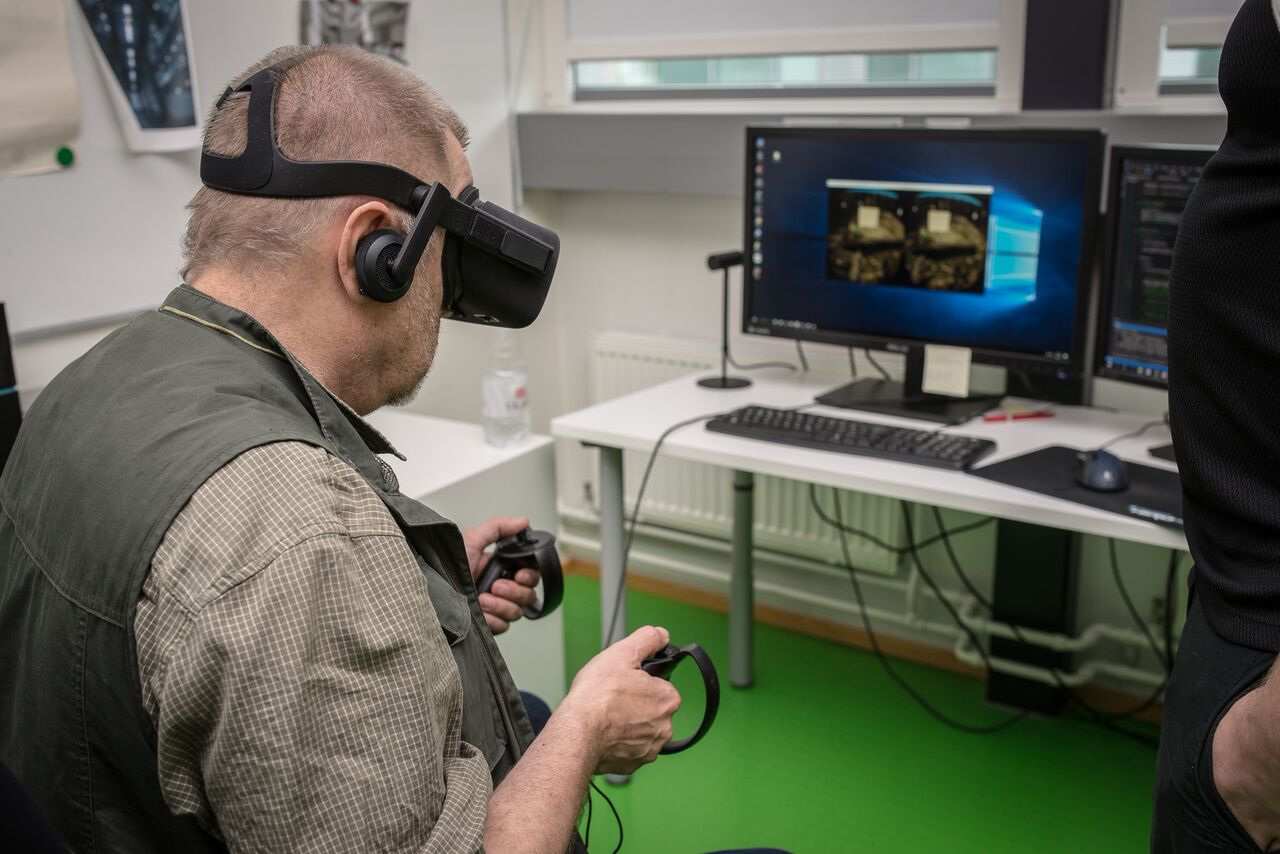
In the simulation you can view the forest from the height of, say, one kilometre, and then come smoothly down to the ground at your own speed. You can wander among the trees according to your own will, take off again to see what is around you, and maybe continue along the duckboards across the nearby wetlands.
If you were to watch a video of the forest, for example, you would see only what the camera operator had seen. In the simulation you can look everywhere, just as you wish.
The size of the simulation is only six gigabytes. “I handed it over on a flash drive,” says Vesitie.
Still, the most important thing about the simulation is that it allows you to see the future. Since the locals in Suomussalmi expressed doubts about how the harvested area would look now and in the future, the simulation allows you to harvest an area just by pressing a button. And it is equally easy to see how the area will look in, say, 20 years.
The only differences compared to reality are that the stumps do not decay and the undergrowth of the forest consists of just grasses. This is because modelling the undergrowth of a Finnish forest with its masses of low-growing shrubs would be worth a project in itself.
Development continues
Metsähallitus is pleased with the simulation. According to Hannu Lehtonen, chief of planning at Metsähallitus, they would like to use simulations to assess the effects of everyday harvesting operations.
“The goal of further work could be, for example, to create a new planning tool. This would require that forest data could be transmitted automatically into the simulation,” says Lehtonen.
Lehtonen considers that in addition to Metsähallitus, municipalities could benefit from the tool when planning the use of forests near built-up areas.
Development work has progressed in the Science Park after the Syväjärvi simulation. The modelling is under continuous development. “What we need is more photorealism, or photographic accuracy,” says Vesitie.
The memory space and computer power needed must also be decreased, as must the amount of manual work.
The amount of work can be decreased with stored models of basic natural elements. Libraries of elements of undergrowth, trees, stones, roads and waterways are under development. “The libraries will help us to cut down on manual work by two thirds,” promises Vesitie.
Another thing to study are the possibilities of using drones to collect forest data. On the other hand, existing forest data could also be better utilized.
“The day will come when open forest data makes it possible for everyone to create a simulation of their own forest. This is significant for the growing number of forest owners living far from their forests and unable to visit them very often,” says Juha Purmonen from the Science Park.
The simulation actually allows you to see some things even better than you would during a visit to the forest, such as the future options. “Take, for example, the laser monitoring of forests, which is not exactly cheap. We should find more uses for the data gathered with it,” says Purmonen.
Photographs show decayed wood and lack of nutrients
The twentieth century has been called the century of electronics, because during it, electricity and electronics changed our world. On the other hand, the present century is called the century of photons, because light and the use of light is changing our world in many respects. It was not by accident that the United Nations declared the year 2015 as the International Year of Light.
As regards the use of light in the forest sector, it is possible to determine, for example, the chemical elements in photographed objects. Thus, you can take a photo of a tree and use it to determine the frequency of the light reflected from the tree. This, in turn, allows you to determine the elements contained in the tree and whether it is decayed inside.
In urban areas you can use this information to decide whether or not a decayed tree needs to be felled. And knowing the levels of elements helps you to assess the need to fertilize the forest.
The photonics specialists of the Science Park currently collaborate with biologists at the nearby University of Eastern Finland, who are determining the light spectra of different tree species and of the chemical elements contained in them.
According to Purmonen, photonics is a significant area of research in Finland. Research groups in Helsinki, Tampere, Joensuu and Oulu are all focusing on specific topics. At Joensuu, the speciality is optics and forest.
Thanks to the cooperation between these groups it is possible to create simulations such as that done for Syväjärvi. In fact, the roots of the simulation project can be traced back to the international Forest&Photonics conference organised every September by the Joensuu research group.
Syväjärvi simulation on a video