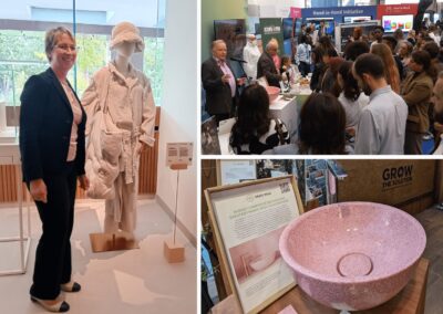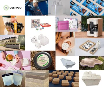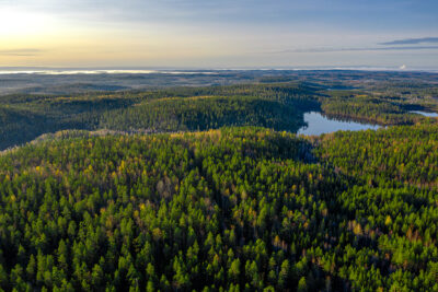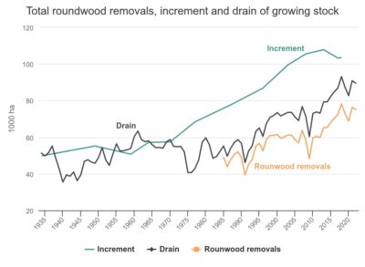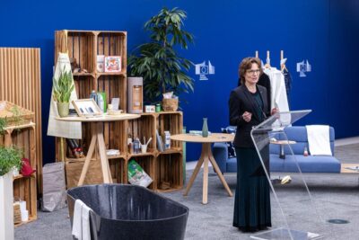
Forest sector bioeconomy expertise took centre stage in Brussels – EU Commissioner Roswall launched a new bioeconomy strategy wearing a dress made of wood pulp
The EU’s new bioeconomy strategy gave forestry innovations exceptional visibility in Brussels. EU Commissioner Jessika Roswall presented the strategy to international media wearing a Finnish wood‑fiber dress, with a wide array of bioproducts showcased behind her.